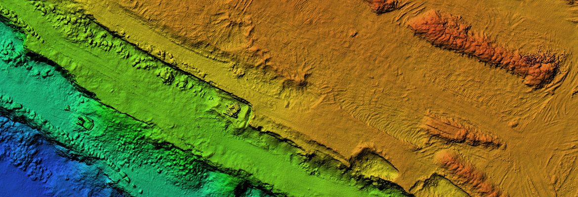
This program equips learners with cutting-edge skills in geospatial technologies to address climate change challenges. Through three specialized courses—LiDAR for Climate Change Mitigation, Mapping for Climate Action and Spatial Data for Climate Change Risk Assessment—you will gain hands-on experience in utilizing geospatial data and tools to develop actionable insights for climate resilience and sustainability.

Email list: Geospatial Analytics for Climate Action

Interested in learning more?
Sign up for our email list to get updates about the program and when it launches.

