
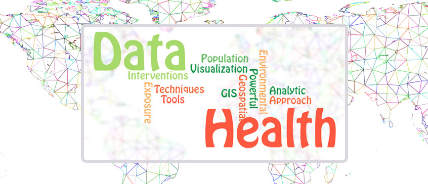
Learn the power of GIS: explore the who, when and where behind health interventions, exposures, and outcomes
By Ann Greenwood, Co-Project Lead for the curriculum development of the Population Health Data Analysis Professional Specialization Certificate.
In our changing world, disease incidence and environmental risk are an ever-present topic we are all aware of. It’s important to understand the association between environmental exposures and health outcomes. Mitigating them through sound interventions and planning requires a cross-disciplinarian work force and powerful tools. One tool is a Geographic Information System (GIS), which has become invaluable in the population health architecture.
GIS helps analyze the distribution and determinants of disease and health exposures within a given population. Even though we commonly have detailed information on the who and when of a particular disease, GIS allows us to add critical information to the where. A GIS can compile geographic data from a multitude of sources and accommodate advanced visualization and analysis of this data. This process allows new value to be integrated into population health efforts. This could include exploring the effect of environmental exposures (like land use, transportation networks, and air quality) on health outcomes, or identifying geographic barriers to health care access. GIS is critical to not only addressing geographic risks, but also for guiding population health interventions. Supporting health needs and health equity within vulnerable communities can be effectively assessed through a geospatial approach.
If you’re passionate about working in population health and making a difference to the health and well-being of your community, come learn how to leverage GIS in your work!
Using ArcGIS to analyze environmental and health information to support local and national health needs is an integral part of the applied skills training offered in the Population Health and Geographic Information Systems (PHDA 03) course. This course is accessible and valuable to first-time GIS users and seasoned public health practitioners alike. The next offering of PHDA03 is in Fall 2022.
Get started with GIS
Register in our upcoming course: Population Health and Geographic Information Systems (GIS) - PHDA03
- Posted June 8, 2022
RELATED TOPICS: Data Analytics